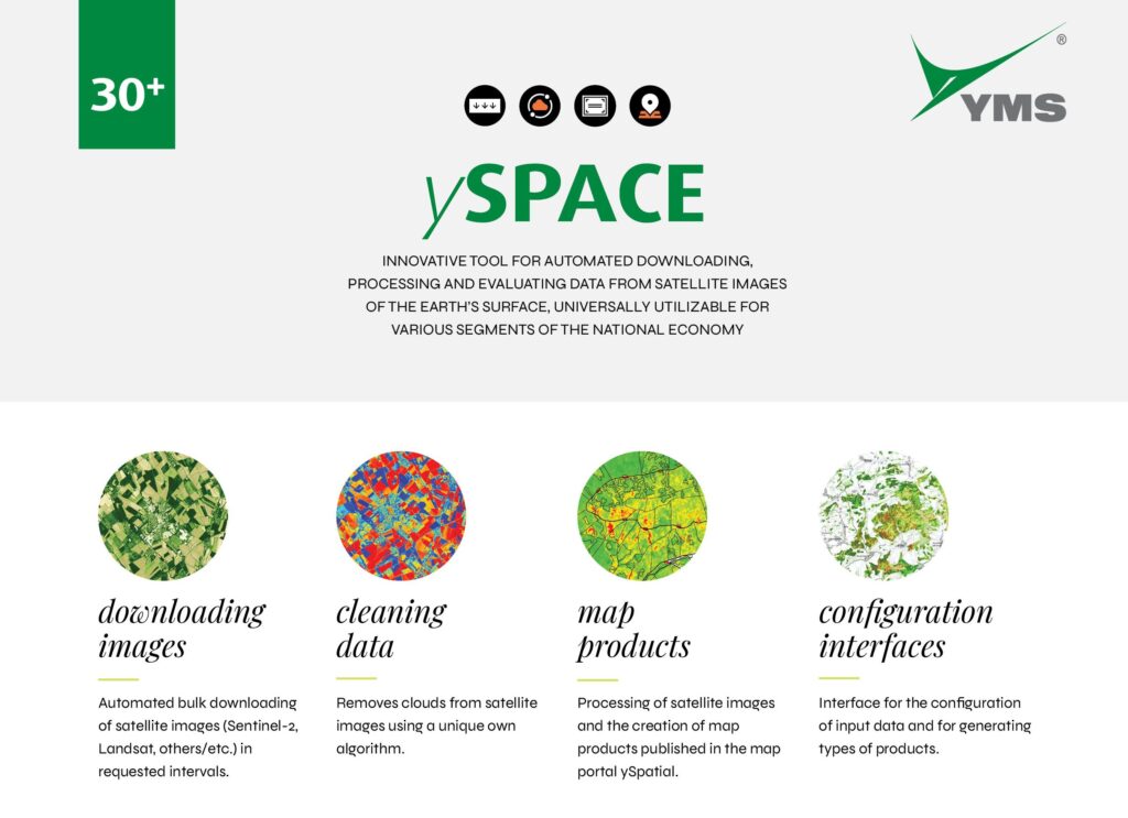
October 2021 – ySpace is one of the first solutions in Slovakia that offers automatic processing of satellite images tailored for the client’s needs, whether it is indexing or concrete monitoring.
Thanks to the rise in quality and availability of satellite data, there came a technological boom in processing it. New applications mainly come from testing conditions on the academic soil and in research institutions, but without advanced knowledge they aren’t very useful in practice. In the case of ySpace there is a direct transfer of know-how from scientific to practical environment, from research to management.
Space data into everyday management
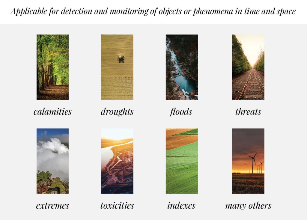
We have developed an automated software link, which any user can use. Based on specific configuration, ySpace can for example monitor different types of changes on the Earth’s surface, detect the concentration of substances in the atmosphere, reveal potential substance leaks, even dangerous ones, determine the effectiveness of heating systems, reveal illegal activities in the country or contamination with pollutants, ashes and the like. The data is then presented in ways that professionals can incorporate into their everyday work.
Foresters and farmers
In the year 2020 we began to work with foresters on the topic of vegetation growth and licorice calamities, and in the year 2021 we worked on the agricultural problem of water erosion of the soil. “As the first of its kind, ySpace provides targeted monitoring and evaluating, including retrospective processing, for the chosen territory and concrete user. This means that using satellite imaging it automatically and regularly evaluates the selected parameter, or combination of parameters, that the client needs to monitor. On top of that, it works automatically based on the requests of the client. Meaning that a client enters a specific phenomenon or territory, that they need to monitor and the app literally “spits out” a processed and clearly understandable, concrete output. For example, for Forests of Slovakia, it is about monitoring the development of vegetation during the growing season and the progression of any licorice infestation in it. Satellite imaging available every 7 days does the job from a distance and automatically“, explains the point of the new ySpace application Radovan Sunega, Director of research and Innovation Projects YMS.
Space innovation – practical and universal tool
We therefore created a completely new, innovative, and in practice very easily usable tool, which has a high added value in the ability to focus and monitor the selected phenomenon or combination of phenomena. It can combine several data tools, analyze any data from remote surveying of the Earth, in other words from satellites, aerial photogrammetric of laser imaging or drones. It can also combine the monitoring of completely different parameters, such vegetation, temperature or air, and therefore provide a very accurate and comprehensive view of the selected area.
We integrated algorithms for analysing pictures into the system and created a simple and understandable interface, in which even a regular user can configure their requirements and receive a finished product. This can be used as a base for professional decision making on measures or for further planning.